In typical January fashion, the bad weather just keeps coming and as the temperatures drop below freezing, the Met Office issued a variety of severe weather warnings to head before Storm Goretti arrives later this week.
The forecaster warned the public that extreme winds and heavy snowfalls, as part of what they are dubbing a "multi-hazard event", are due to land on Thursday 8 January and Friday 9 January, and outlined the areas around the UK that would be worst affected.
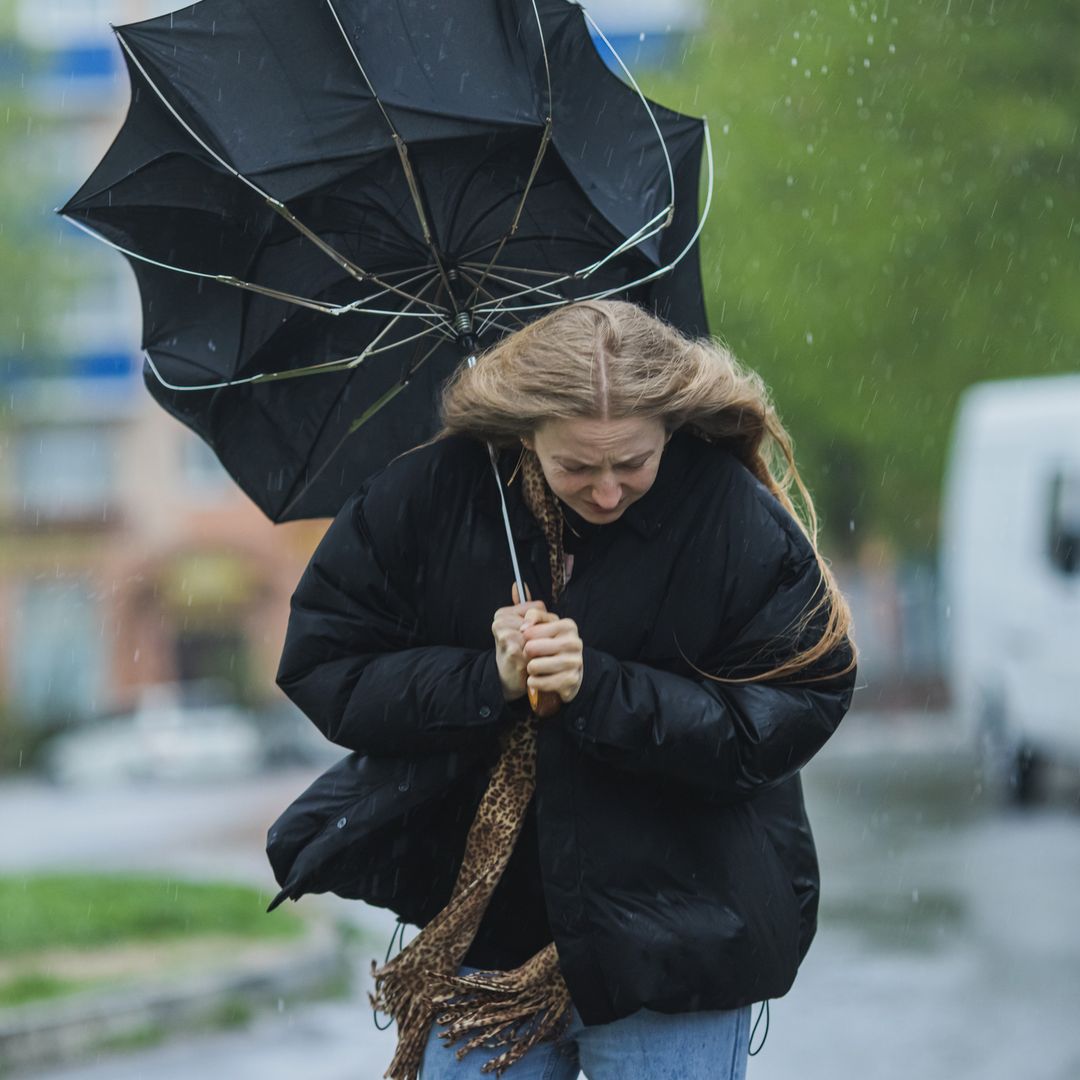
Its yellow weather warning highlighted 57 areas in England and Wales that could expect to get snowfall ahead of the weekend. A rare red alert (the most serious of warnings) was issued for wind in the South West of England as the government body predicted winds of 100mph or more could hit Cornwall and the Isles of Scilly.
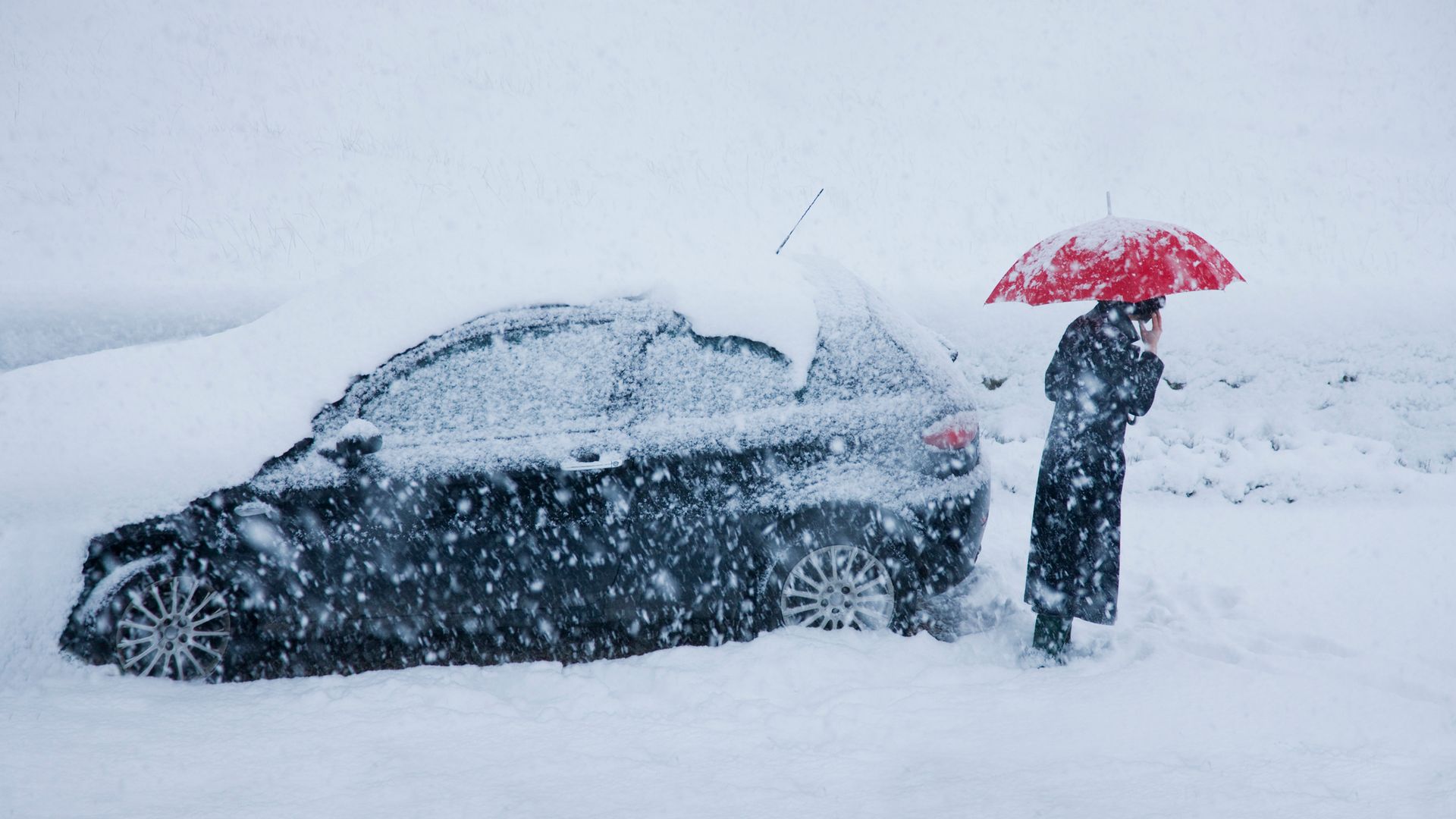
Heavy snow is due to hit Wales, the Midlands and parts of northern England hardest overnight and conditions are predicted to last until Friday morning, at least.
What has the Met Office said about the incoming weather spells?
Met Office Chief Forecaster Neil Armstrong said in a statement on Thursday: "Storm Goretti will bring exceptionally strong gusts in the Red warning area, which could reach 100mph or more.
"Winds are expected to increase rapidly with violent gusts that may persist for two to three hours before easing. Heavy snow will affect Wales, the Midlands and parts of northern England overnight and through Friday morning. This multi-hazard event will bring significant disruption to many."
He continued: "Goretti will bring snow on its northern edge, this most likely over Wales and the Midlands. Here, accumulations of 10-15 cm are likely widely, with 20-30 cm possible in some places, especially higher ground in Wales and the Peak District.
"An Amber warning has been issued where the greatest risk of disruption is likely on Thursday night into Friday morning. This is a complex spell of severe weather and I’d advise people in the warning areas to keep up to date with the forecast and messages from local authorities."
Why has it been named Storm Goretti?
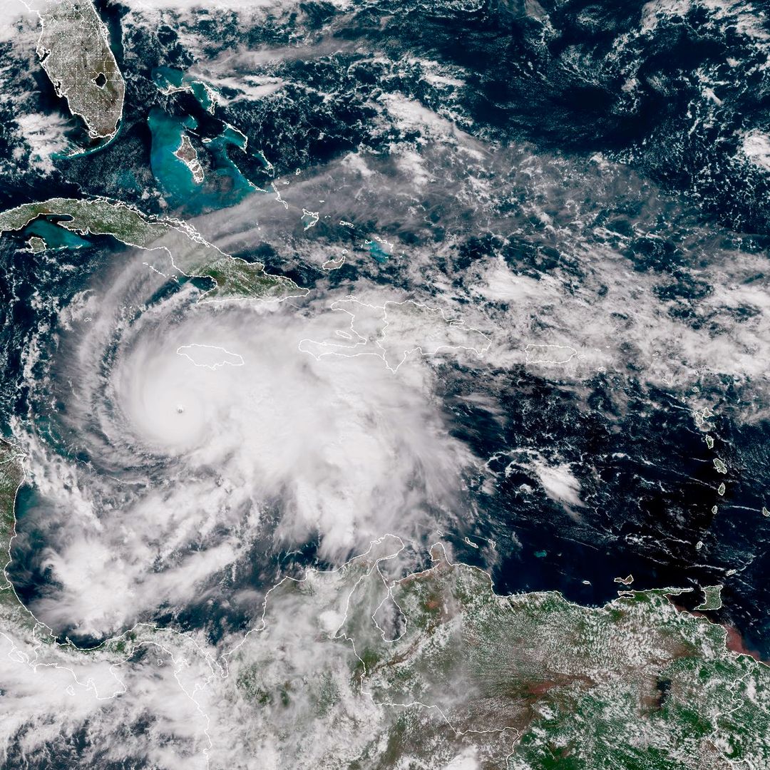
The storm has been given a French name by Météo-France, as opposed to the usual British naming system, due to its directional hits that are expected to land close to northern France.
Even stronger winds than those expected across the South West are predicted to cause chaos in the Channel Islands and northern France as a direct result of the incoming stormy weather.
Will there be disruptions due to the weather?
Travel may face some disruption due to the bad weather event, with train and bus routes the most likely modes of transport to feel the brunt of the storm. Road users are also being warned to be cautious while driving, as roads may be icy or covered in blankets of snow.
Heavy rainfall is also expected as part of Storm Goretti, so motorists are advised to prepare for adverse conditions if heading out onto the road, especially in regions of the South of England on Thursday night.
Anyone who plans to venture out into the storm is being reminded that planning routes and making sure vehicles are equipped to deal with the harsh conditions will be vital when it comes to travelling safely throughout the weekend.
HELLO! reached out to the Met Office for comment and is awaiting its reply.